Engagingly written — all the guides from this stable are first class
— Traveller

Preview an Excerpt
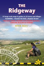
The Ridgeway: Avebury to Ivinghoe Beacon
(British Walking Guide)
by: Nick Hill
Price: £14.99 BUY NOW
ISBN 978-1-912716-52-4
6th edition
216 pages, 80 maps
46 colour photos, 4pp colour flower & butterfly guide
120mm x 180mm, 5" x 7"
- Packed with invaluable information, this guide enhanced my Ridgeway experience.
- Strider, Winter 2025 - one of the best available
- The Friends of the Ridgeway - The best features are the maps
- Andy Plummer, The Friends of the Ridgeway
 An 87-mile (139km) National Trail, the Ridgeway runs from Overton Hill near Avebury in Wiltshire to Ivinghoe Beacon in Buckinghamshire. Part of this route follows Britain’s oldest road, dating back millennia. Taking 5-7 days, this is not a difficult walk and the rewards are many: rolling countryside, Iron Age forts, Neolithic burial mounds, white horses carved into the chalk downs and picturesque villages.
With accommodation, pubs and restaurants in detailed guides and maps to 24 towns and villages including Marlborough and Avebury.
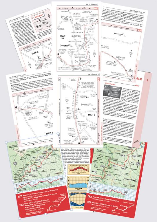
- Includes 53 detailed walking maps – the largest-scale maps available – at just under 1:20,000 (8cm or 31/8 inches to one mile) these are bigger than even the most detailed walking maps currently available in the shops.
- Unique mapping features – walking times, directions, tricky junctions, places to stay, places to eat, points of interest. These are not general-purpose maps but fully edited maps drawn by walkers for walkers.
- Itineraries for all walkers – whether hiking the entire route or sampling highlights on day walks or short breaks. Detailed public transport information for all access points.
- Practical information for all budgets – what to see; where to eat (cafés, pubs and restaurants); where to stay (B&Bs, hotels, hostels, bunkhouses and campsites).
- Downloadable GPS waypoints
Updates:
Latest Updates for The Ridgeway: Avebury to Ivinghoe Beacon
Price: £14.99 buy online now…
Latest tweets